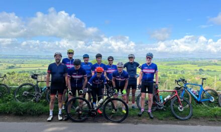
Saturday looks like the morning may be showery and a bit blustery, though the forecast to the west seems a little better currently. All three routes head to the most photographed bench in the south of England on the way to Blackford. The Pink route continues to Sparkford and Speckington before reaching Sherborne. The Blue and White routes take a more direct way to Sherborne. The Pink and Blue routes then follow the same roads to Yetminster, Leigh and Lyons Gate, returning to Gillingham via Holwell and Stalbridge.
From Sherborne the White route heads to Folke and Boys Hill before rejoing the other routes at Holwell.
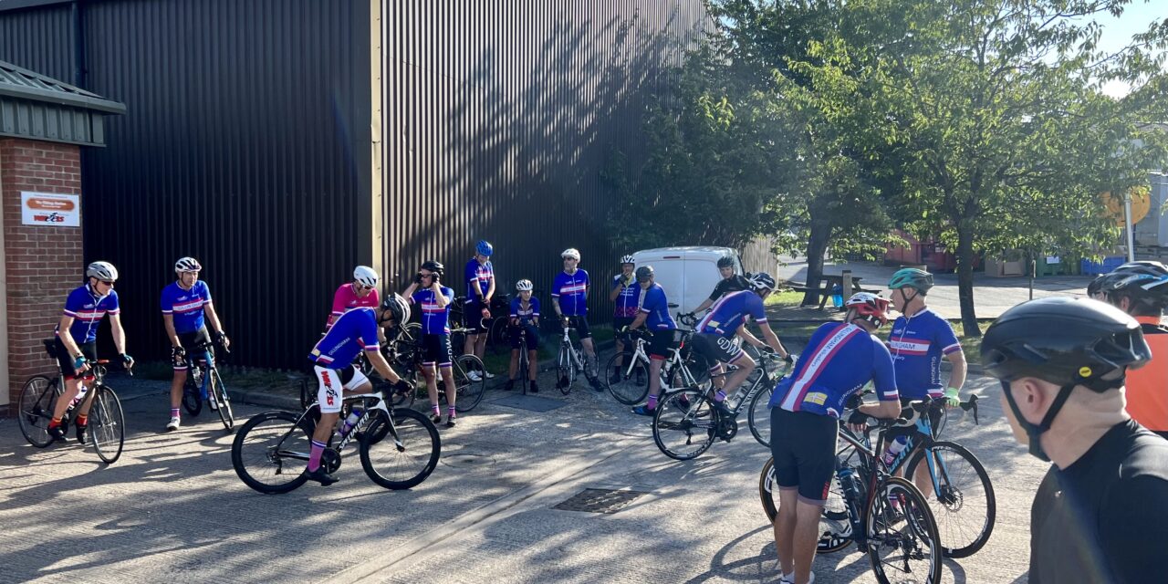
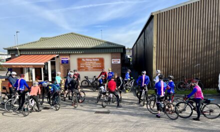
Meet at 9.00 am at the Wheels car park, Station Road, Gillingham. Please ensure you download your chosen route to your GPS device, and remember to bring your ride essentials, particularly sufficient liquid refreshement.
There is nothing to stop a group splitting into a ‘light’ and a ‘dark’ group, and a slower group can take on a longer route or a faster group ride a shorter route. All rides are no drop rides but please select a group suited to your ability!
Pink Route: 95.6 kms, 961 m elevation – est speed 28 kmh+ / 17.5 mph +
Blue Route: 83.6 kms, 983 m elevation – est speed 24 kmh / 15 mph
White Route: 70.2 kms, 740 melevation – est speed 20 kmh / 12 mph
For those who have issues downloading their routes, here’s the guide for a Garmin device and here’s the guide for a Wahoo device.
