The dry weather looks set to continue into Saturday, with the wind from the east south east. All routes head south this week.
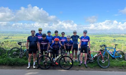
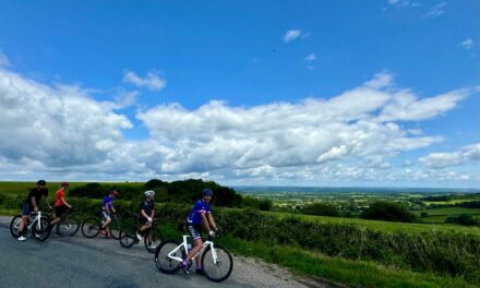
The Pink and Blue routes go to Sturminster, up and over Bulbarrow and on past Milborne St Andrew. They diverge at the A35 where the Blue route takes the ‘Martyrs’ route to Puddletown, whilst the Pink route adds in a loop to Clouds Hill. Both routes return through Cheselbourne, Hazelbury, Kings Stag and Stalbridge.
The White route heads down to Blandford through Child Okeford and Bryanston and then takes the easy way uo Bulbarrow and down to Stoke Wake, before joining the other routes in Hazelbury Bryan.
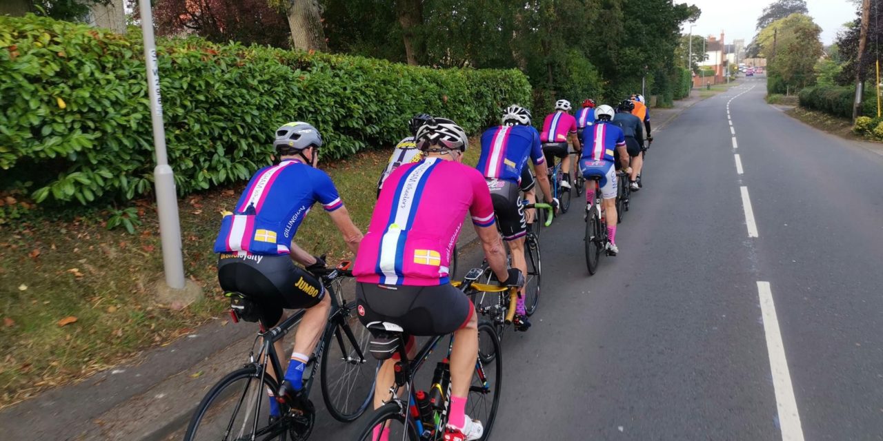
Meet at 9.00 am at the Wheels car park, Station Road, Gillingham. Please ensure you download your chosen route to your GPS device, and remember to bring your ride essentials, particularly sufficient liquid refreshement.
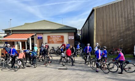
The routes all finish at The Old Brewery Cafe in Gillingham where you can stop for coffee, cake or lunch.
There is nothing to stop a group splitting into a ‘light’ and a ‘dark’ group, and a slower group can take on a longer route or a faster group ride a shorter route. All rides are no drop rides but please select a group suited to your ability!
Pink Route: 96.2 kms, 1,026 m elevation – est speed 28 kmh+ / 17.5 mph +
Blue Route: 88.3 kms, 934 m elevation – est speed 24 kmh / 15 mph
White Route: 69.3 kms, 747 m elevation – est speed 20 kmh / 12 mph
For those who have issues downloading their routes, here’s the guide for a Garmin device and here’s the guide for a Wahoo device.