After a wet week, fortunately the BBC’s 17,000 mph winds won’t materialise, and Saturday looks to be dry with a light breeze moving around from the south to the west. All three routes make their way to Kings Stag where the White route turns left to Hazelbury, Ansty, Milton Abbas and Winterbourne Stickland, returning over Okeford Beacon, Hammoon (floods permitting, Child Okeford if not), and East Stour.
The Blue route continues down the Piddle valley, then across to Cheselbourne and Ansty to rejoin the White route.
The Pink route heads through Glanvilles Wootton before following a similar route back from Piddletrenthide as the Blues.
Meet at 9.00 am at the Wheels car park, Station Road, Gillingham. Please ensure you download your chosen route to your GPS device, and remember to bring your ride essentials, particularly sufficient liquid refreshement.
The routes all finish at The Old Brewery Cafe in Gillingham where you can stop for coffee, cake or lunch.
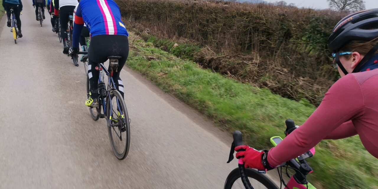
There is nothing to stop a group splitting into a ‘light’ and a ‘dark’ group, and a slower group can take on a longer route or a faster group ride a shorter route. All rides are no drop rides but please select a group suited to your ability!
Pink Route: 98.5 kms, 1,067 m elevation – est speed 28 kmh+ / 17.5 mph +
Blue Route: 83.3 kms, 995 m elevation – est speed 24 kmh / 15 mph
White Route: 70.2 kms, 826 m elevation – est speed 20 kmh / 12 mph
For those who have issues downloading their routes, here’s the guide for a Garmin device and here’s the guide for a Wahoo device.